Modernizing land administration, ending land disputes: Ghana launches GPS network
By DL News
Published
2 min read
The project, known as the CORS Network (Continuously Operating Reference Stations), was launched in Accra on Tuesday, August 19, 2025, by the Licensed Surveyors Association of Ghana (LiSAG) in partnership with the Lands Commission and GMX S...
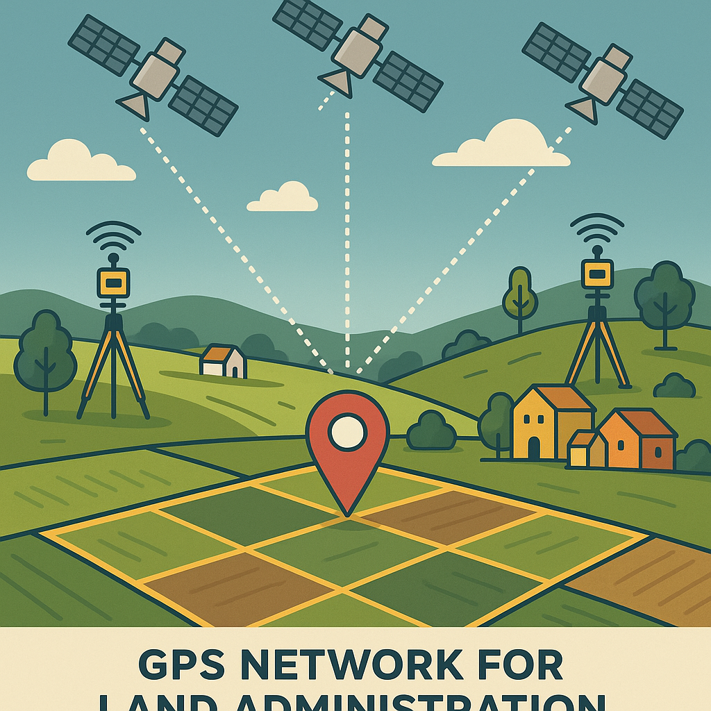
A cutting-edge Global Positioning System (GPS) network designed to transform land administration, surveying, and record-keeping, a move expected to drastically reduce land disputes nationwide has been launched.
The project, known as the CORS Network (Continuously Operating Reference Stations), was launched in Accra on Tuesday, August 19, 2025, by the Licensed Surveyors Association of Ghana (LiSAG) in partnership with the Lands Commission and GMX Systems Ghana Ltd.
Unlike ordinary GPS services on mobile phones, the CORS system provides real-time, centimetre-level accuracy 24/7, ensuring surveyors, builders, farmers, and government agencies can operate with unprecedented precision.
Why It’s a Game-Changer
Officials describe the CORS Network as a landmark development that will:
Deliver highly accurate land surveys to resolve long-standing boundary disputes.
Cut the cost and time of land transactions, easing processes for buyers and developers.
Protect landowners by creating tamper-proof, reliable records that inspire public confidence.
Assist farmers with precise mapping, irrigation planning, and crop management.
Strengthen disaster response with detailed maps during floods or earthquakes.
Drive infrastructure growth by improving planning for roads, bridges, and utilities.
Increase revenue through faster and more transparent land transactions.
So far, 52 GPS stations have been installed nationwide, connecting directly to surveyors and state institutions to provide constant, verified data.
Building Trust in Land Records
To ensure sustainability, LiSAG, the Lands Commission, and GMX Systems have signed a Memorandum of Understanding (MoU) pledging to maintain the network, guarantee uninterrupted access, and build public trust in Ghana’s land registry.
At the launch, LiSAG President Surv. Dr. Ing. Samuel Larbi Darko said the CORS Network represents more than a technological upgrade. “It is a living system, accessible, accurate, and sustainable,” he noted, adding that it aligns with the government’s vision for a 24-hour economy and global standards in geospatial management.
LiSAG also announced plans to train more surveyors and promote adoption nationwide, working closely with the Lands Commission to ensure the system benefits all Ghanaians—from farmers and builders to businesses and landowners.
At its heart, the CORS Network is about securing land rights, modernising infrastructure planning, and giving Ghanaians renewed confidence in land ownership.